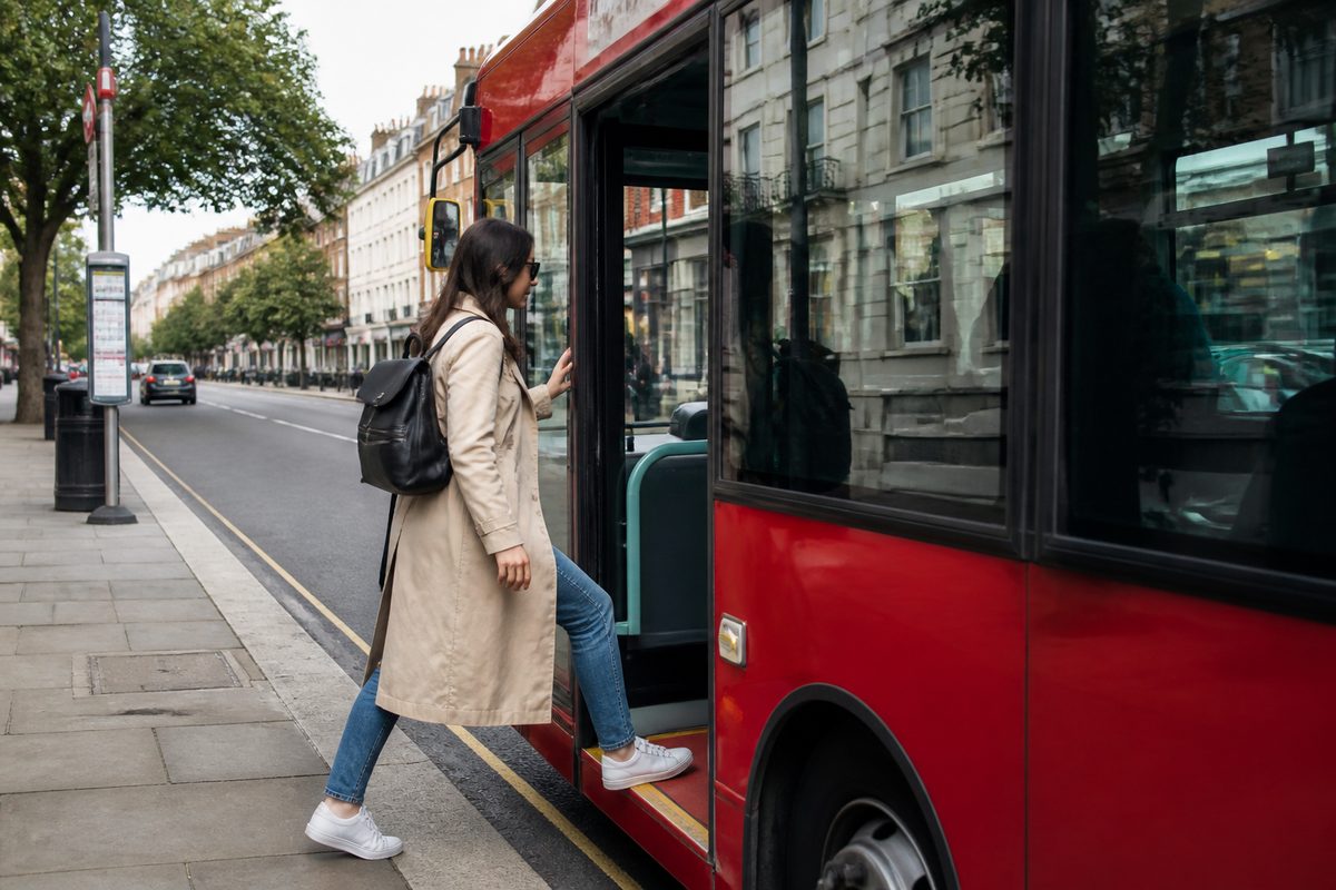
You can manage daily life in Bayswater without a car by using the train as your main link, buses for cross-suburb trips, and walking for nearby errands. Bayswater Station makes longer journeys simple, while local bus stops connect homes with shops, services, schools and nearby activity centres. The key is to plan around the whole trip, including the walk at each end.
This guide covers Bayswater, Western Australia. It focuses on repeat journeys such as buying food, reaching work, attending an appointment or visiting the river. Routes and service times can change, so check current Transperth information before leaving.
What should form the base of a car-free routine?
Use Bayswater Station as the base for trips toward central Perth, the eastern suburbs and the airport corridor. Use the local bus network when your destination sits away from the railway. Walk when the full route is comfortable, direct and suited to the weather.
This split keeps planning simple. Rail transport usually works best for longer trips along a fixed corridor. A Public transport bus service reaches more streets but may run less often. Walking fills the gaps between your home, stop and destination. Cycling offers another option for trips between transport stops. cycling
Start by listing the places you visit in a normal week. Include work, food shops, medical care, exercise and social visits. Mark the nearest station or useful bus stop for each place. This creates a small personal network instead of forcing you to study every route in the suburb.
In my experience, people often judge a trip by its longest ride. The harder parts are usually the first and last 800 metres. A ten-minute train ride can still feel poor if the station walk has little shade or the connecting bus leaves too soon. Plan door to door.
How does Bayswater Station help with longer trips?
Bayswater Station is the main anchor for car-free Transport in the suburb. Trains provide a direct way to reach central Perth and connect with services running through the wider network. The station also gives passengers access to bus connections, cycle parking and walking paths.
For work in the Perth CBD, the train removes the need to sit in road traffic or find parking. It also makes city shopping, study and appointments easier because central stations connect with many other services. Airport-bound passengers can use the rail network rather than arranging a lift for every flight.
The station works best when you know which entrance suits your approach. A person walking from the town centre may use a different path from someone arriving by bus. station maps before the first trip, especially if you need lifts, step-free access or extra time to change platforms.
Leave a buffer when changing between a bus and train. Five spare minutes can disappear at a long crossing or station entrance. For an appointment, aim for the service before the last one that would get you there on time.
Where can local buses take you?
Buses are useful for destinations that do not sit beside a railway station. They can link Bayswater residents with nearby retail areas, community services, education sites and other suburbs. Some routes feed stations, while others cross major roads and continue through several activity centres.
Do not assume the closest stop offers the best trip. A stop five minutes farther away may have a more direct route or a better Public transport timetable. Compare nearby stops in both directions before settling on a regular journey.
Bus routes also differ by time of day. A service that suits weekday work may have longer gaps at night or on Sunday. Check the return journey as carefully as the outward one. This matters for late shifts, medical appointments that run over time and evening events.
When testing a new route, take it once without a tight deadline. Notice where the bus turns, which side of the road serves the return trip and whether the stop has shelter. What I found was that one practice journey removes much of the stress from later travel.
Which everyday destinations are easiest to reach?
The easiest destinations are those close to Bayswater Station, a direct bus route or a safe walking path. Local food outlets, small retailers and services around the town centre can often be reached on foot from nearby homes. This makes short, frequent errands easier than one large weekly trip.
For a larger Shopping center, use the Journey planner to compare a direct bus with a train-and-bus combination. The fastest option on a map may not be the easiest when carrying bags. A direct bus can be worth a few extra minutes because it avoids stairs, platform changes and a second wait.
Central Perth is practical for major retail, offices and specialist services because the train handles most of the distance. Nearby centres such as Maylands and other stations along the line can also serve dining, shopping and personal errands. The best choice is often the place with the simplest return trip, rather than the place with the most stores.
Group errands by route. Buy groceries near a stop you already use for work, or book an appointment close to a station on your normal line. This cuts waiting time and reduces the number of separate journeys in your week.
How should you plan grocery trips without a car?
Shop more often and carry less. Two smaller loads are easier to manage on a bus or train than one packed trolley. A backpack keeps both hands free, while a folding shopping trolley suits heavier items if the route has smooth footpaths and step-free access.
Choose the store by total effort. A supermarket with lower prices may cost more in time if it needs two transfers. Compare the fare, travel time, walking distance and weight you must carry. Delivery can make sense for bulky goods such as pet food, drinks or household supplies.
Check the final walk before shopping. A route that feels easy with empty bags can become tiring when loaded. Look for steep sections, broken paving and major road crossings. If the return stop lacks seating or shade, choose a cooler time of day.
Keep frozen and chilled goods together in an insulated bag. Buy them near the end of the visit. If buses run far apart, check the next departure before entering the checkout line.
Can you reach medical care and other appointments reliably?
Yes, if you plan for delays and confirm the correct entrance. Clinics in office buildings or large health sites may sit several minutes from the street address shown in a search result. Ask the provider which stop or station entrance is closest.
Use the official Journey planner with your required arrival time. Add at least one service of spare time for appointments that carry a missed-booking fee. If the route has a transfer, check whether walking the final section would be faster than waiting for another bus.
Save the return plan before entering the appointment. You may have poor reception inside a building, or the visit may finish later than expected. Write down the stop name and direction if the area is unfamiliar.
A Passenger information system at a station or stop can show expected departures and service messages. Treat live information as a guide, then follow official disruption notices and staff directions. If an appointment cannot be missed, identify a backup route before leaving home.
What makes a walking route practical?
A practical route has safe crossings, usable footpaths and a clear destination. Distance alone does not decide whether a walk feels easy. Traffic, heat, hills and the items you carry can change the trip.
Think like a Pedestrian when choosing between two paths. The shortest line may cross a busy road without a convenient signal. A slightly longer path through quieter streets can feel safer and take less mental effort. Check both daylight and evening conditions if you will use the route after work.
Summer heat changes what counts as walkable. Carry water, use sun protection and avoid the hottest part of the day when possible. Shade may be limited near wide roads and new station areas. In wet weather, allow time for slippery paving and slower crossings.
At night, choose lit streets with clear sight lines. Tell someone your expected arrival time when walking through an unfamiliar area. If a stop feels isolated, wait near an active business when it is safe to do so, then approach as the bus nears.
How do you read stop and timetable information correctly?
First confirm the stop number, travel direction and day of service. Stops on opposite sides of the same road can serve different routes. A weekday Public transport timetable may also differ from Saturday, Sunday and public holiday times.
Scheduled time tells you when a service should arrive. Live tracking estimates where it is now. Check both when available. A real-time display may change because of traffic, road works or an incident elsewhere on the route.
Use official Public transport tools for the final check. General map apps are useful for exploring options, but their data may lag behind a temporary change. Read service alerts before trips involving a strict arrival time.
Save regular stops as favourites. Take a screenshot of the route when mobile coverage or battery life may be a problem. A small power bank is useful on long days, especially when your phone holds your ticket, map and appointment details.
How can transfers feel less risky?
Choose transfers with enough time to walk between platforms or stops. A two-minute connection may appear efficient, but one red light can break it. A longer planned gap is often better than an unplanned wait after a missed service.
Check whether the second service runs often. Missing a bus that comes every ten minutes is a small problem. Missing one that comes once an hour can change the whole day. Give low-frequency connections a larger buffer.
Stand where signs and screens are easy to see. Listen for platform changes and check the destination shown on the vehicle. If you are unsure, ask the driver or station staff before boarding.
For the first trip, note a simple fallback. This could be another bus, a walk to a nearby station or a safe place to wait. Knowing the backup makes an unfamiliar connection much easier to use.
What should people with limited mobility check first?
Check the complete accessible path, not only whether the vehicle accepts mobility aids. Lifts, kerb ramps, platform gaps, crossing times and footpath condition all affect the trip. A step-free station cannot fix a blocked path near the destination.
Confirm lift status before leaving when a lift is essential. Allow more time to board and position yourself near the marked accessible area. If using a wheelchair, mobility scooter, walker or pram, avoid a connection that depends on rushing.
Seating and shelter also matter. A person who can walk 500 metres may still need a rest halfway. Search street images can offer a first look, but recent road works may change access. Contact the destination or transport operator when the path remains unclear.
How can you make regular travel cheaper and simpler?
Use the accepted fare method correctly and learn the rules for tagging on and off. Fare products, concessions and caps can change, so confirm current details through Transperth. Do not rely on an old blog post or a photo of a fare table.
Build repeatable routines. Use the same station entrance, keep your travel card in one pocket and leave home at a set time. Save two useful bus stops and your common train trip in the app. Small habits prevent missed services.
Keep a basic travel kit near the door. A charged phone, water bottle, compact rain cover and reusable bag cover most daily trips. Add any medicine or mobility item you may need during a delay.
Review the route after using it for a week. If the connection keeps failing, change the plan. An earlier bus, a different stop or a short walk at the other end may create a far more reliable trip.
When does a taxi, rideshare or delivery still make sense?
Car-free living does not require every trip to use Public transport. A taxi or rideshare can make sense for an early flight, urgent appointment, heavy load or journey after regular services finish. Delivery can solve the hardest part of a bulky grocery order.
Compare occasional paid trips with the full cost of owning a car. Registration, insurance, fuel, repairs and parking continue even when the vehicle sits still. A small monthly allowance for backup travel can protect your routine without adding those fixed costs.
Set clear rules for using the backup budget. Use it when missing the destination would cost more than the ride, when personal safety is a concern or when carrying an item is not realistic. This keeps paid alternatives useful without turning them into the default.
What is the best way to test car-free life in Bayswater?
Run a seven-day trial before making a major choice. Use buses, trains and walking for the trips you actually take. Record the door-to-door time, waiting time, fare and any difficult crossing or transfer.
Test a work trip during its real peak period. Do one grocery run with the bags you plan to carry. Visit an everyday service after dark if that reflects your schedule. A midday practice run cannot reveal every issue faced during an early shift or late return.
At the end of the week, fix the weakest journey first. You may need a different shop, an earlier service or a backup ride for one hard trip. Most car-free routines become workable when each common destination has a main route and one fallback.
Action takeaway: Open the official Transperth Journey planner now, save your home stop and Bayswater Station, then test your most common return trip at the same time of day you will normally travel.